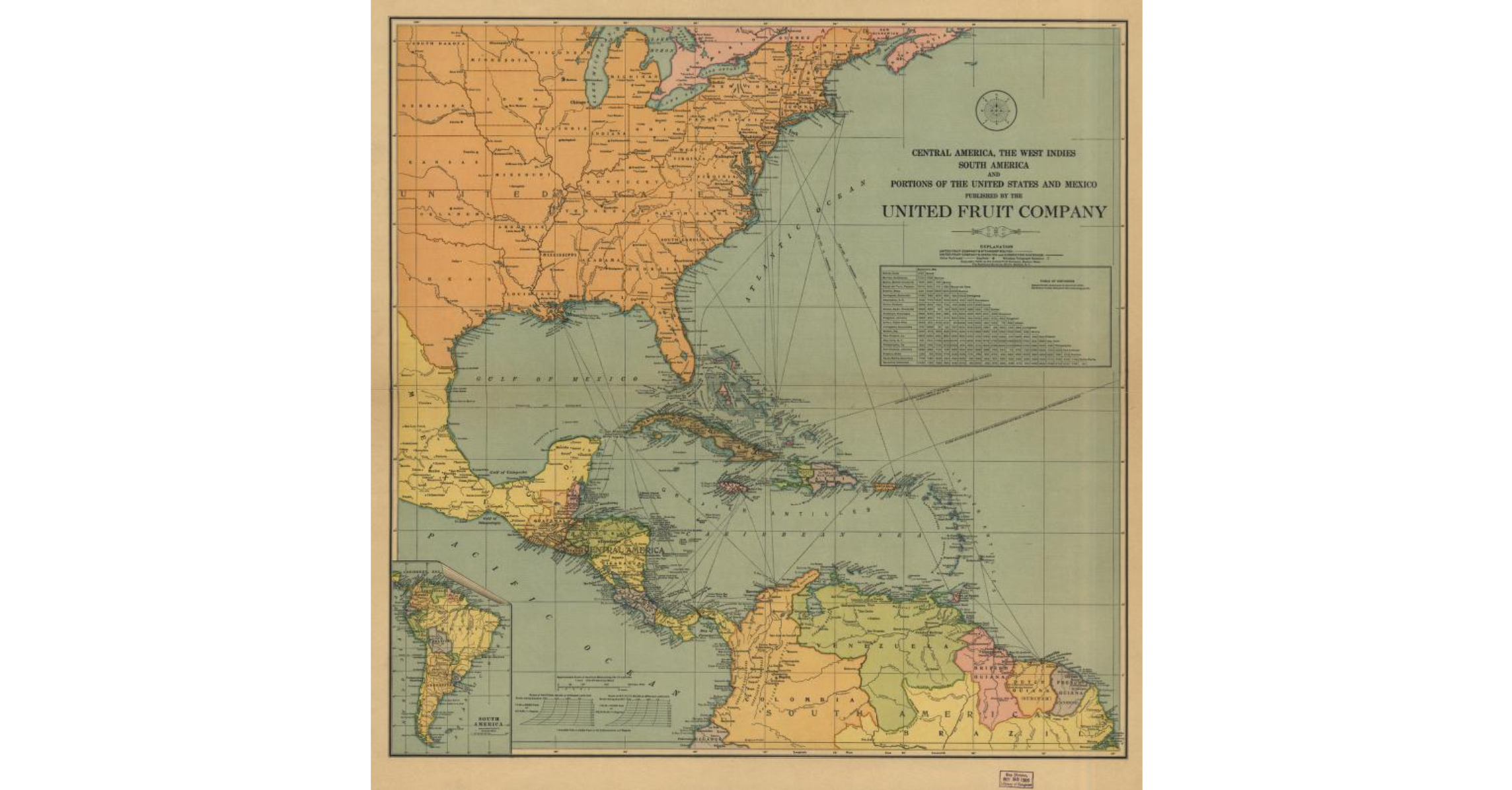
This source is a map produced by the United Fruit Company in 1909 and held in the Library of Congress Geography and Map Division. The map was created by the UFC itself, which makes it a corporate map. It was produced in the early times of the company during a period where the company was absorbing rival companies. The map includes shipping routes, railroad lines, and wireless telegraph networks across Central America. The purpose of the map was as a guide to the company’s shipping and transportation network but also so that they could build their reputation as a modern superpower.
The map reflects the point of view of a company that views itself as the controller and dominant power in the region of Central America. The main features of the map are the shipping routes, railroad lines, and wireless telegraph networks. The UFC makes these items noticeable purposefully to draw attention to their huge reach. The map doesn’t emphasize the countries involved or even the borders that separate them; it showcases just how powerful they truly are. This source is historically significant because it provides visual evidence of how UFC used cartography as a tool for corporate image management and political power. It also demonstrates that the company’s information strageies were not only used against Árbenz, but they were used in their founding times. This source is perfect for my project because it demonstrates how the United Fruit Company used propaganda and information control strategies throughout their existence and not just to force the Guatemalan Coup. It demonstrates how they used cartography to appear modern. This is extremely beneficial for them because it allowed their presence in Central America to seem permanent and beneficial.
Source
United Fruit Company. Central America, the West Indies, South America and Portions of the United States and Mexico. Map. New Orleans: United Fruit Company, 1909. Library of Congress Geography and Map Division. https://www.loc.gov/resource/g3301p.ct000852/.